 Concrete Dams Department
Applied Geodesy Unit
 Maria João Henriques
Head of Unit
Maria João Henriques
Head of Unit
Presentation
|
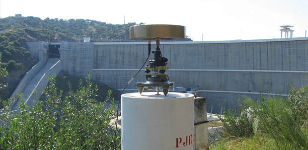
The Applied Geodesy Unit (AGU) has more than four decades of experience in R&D and studies in the geodetic observation of large dams, and other engineering works, and in the field of geomatics engineering, namely in the field of remote sensing and image processing applied to the monitoring of infrastructures and the territory. For the performance of its current tasks, AGU has a team of geomatics engineers, survey engineers and specialized technicians, high-precision geodetic observation equipment and a Digital Image Processing Laboratory (LabImagem). The R&D activity developed in the AGU is part of LNEC´s Research and Innovation Plan 2013-2020, co-financed by R&D projects in partnership with other institutions. |